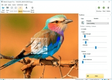
Transform your digital photos into pencil sketches in just a few steps.
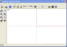
ArcGIS Explorer Desktop is a GIS viewer that gives you an easy way to explore.
Standalone application
Geospatial mapping and analysis tool with ESRI file support.
GTP for ArcGIS the functionalities of ArcGIS to more than 90 raster formats.